
New York is settling into an active winter weather stretch as a storm system stretches across the Northeast, bringing a changing mix of snow, rain, sleet, and ice. Conditions differ sharply from one region to another. Coastal locations lean wetter, while inland and higher elevations face more persistent snowfall. That contrast makes planning difficult since road safety, travel timing, and daily routines depend heavily on local temperature swings.
This type of storm forms when cold northern air collides with milder moisture rising off the Atlantic Ocean and nearby lakes. Where cold air dominates, snow sticks. Where warmer air slides in at ground level, precipitation changes to rain or slushy mixes. In just a few miles of travel, drivers can move from dry pavement into near whiteout conditions.
For residents commuting, running errands, or visiting family, the biggest challenge is not knowing exactly when or where the next snow band may drop. The following breakdown explains what’s happening and how it could affect daily life across the state.
Why Conditions Keep Changing Across New York
This storm is shaped by what forecasters call temperature layering. Cold air remains trapped close to the surface across much of inland New York while milder air moves overhead or along the coast. Because snowflakes melt as they fall through warmer layers, the type of precipitation depends on whether freezing air can hold all the way down to street level.
Upstate regions remain colder overall. That allows snow to keep falling as snow instead of turning to rain. Meanwhile, coastal communities feel warming influences from ocean winds that push temperatures above freezing, creating rain or light slush rather than steady accumulation.
Wind direction also plays a major role. Strong air flow across the Great Lakes pulls moisture inland. That moisture drops as snow when it reaches colder ground. This lake driven effect creates narrow storm bands that form quickly and shift their focus with every small wind adjustment, producing uneven snowfall across counties.
Areas Likely to See the Most Snow
Interior sections of the Hudson Valley, the Mohawk Valley, western New York, and portions of the Adirondacks remain the zones most likely to accumulate measurable snow. Elevation increases snowfall because air cools as it rises over hills and mountain ranges. Even small terrain differences can create deeper drifts in some towns compared with neighboring communities.
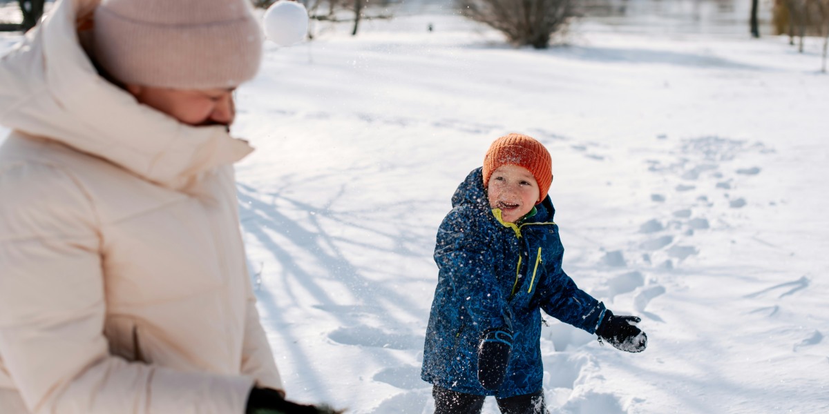
Photo Credit: Unsplash.com
Lake influenced regions near Lake Ontario also stay active as moisture feeds off warmer water surfaces. Snow bands form rapidly and often stall over one corridor before shifting miles away. This results in streets covered with snow while nearby areas remain nearly clear.
The New York City metro area, Long Island, and surrounding suburbs are more likely to receive rain or mixed precipitation. Snow may appear briefly during colder moments, but sustained accumulation is less likely. However, temperatures falling overnight turn wet pavement into ice. Bridges and overpasses become particularly slippery after sunset.
What Daily Travel May Look Like
Commuters traveling across inland corridors can expect slower traffic during snowfall peaks. Snow reducing visibility makes highway speeds drop below normal flow, while lane closures may occur as plow vehicles attempt to clear build up faster than new snow falls.
Secondary roads often become problematic first. These streets receive less treatment and can turn slick rapidly. Ice formation near intersections and hills increases the chance of minor accidents and stalled vehicles. Even short drives can take longer than planned.
Air travel also experiences turbulence from winter storms. Airports near heavier snow zones face runway visibility limits and ground handling challenges. That may delay departures or force flight rescheduling, especially during evening snow bursts.
How to Think About Personal Safety
The simplest safety approach focuses on timing and awareness. Waiting for snowfall pauses before driving reduces stress and risk. Since snow bands move irregularly, clear weather windows may not last long. Keeping track of radar snapshots or neighborhood conditions often proves more accurate than statewide predictions.
At home, clearing walks early prevents ice from forming underneath packed snow. Applying deicer later in the evening can reduce slip hazards. Securing loose outdoor items also helps as winds strengthen.
For drivers, small habits provide large safety benefits. Slowing acceleration reduces wheel spin. Longer stopping distances help maintain control on slick pavement. Extra care crossing bridges prevents unexpected sliding where freezing occurs faster.
Why Forecasts Can Feel Inconsistent
This type of storm doesn’t blanket large areas evenly. Instead, snowfall concentrates in streaks, sometimes only a few miles wide. As winds shift, those streaks move, leaving some towns buried while nearby communities remain dry.
Temperature sensitivity adds to uncertainty. A shift of only one or two degrees can flip precipitation types entirely. What arrives as snow can change into rain within minutes, then refreeze later into ice. That variability makes exact predictions difficult even a few hours ahead.
Forecasters issue wider advisories because any given community could fall into a snow band as conditions change. These alerts aren’t overreactions. They reflect the genuine unpredictability of band driven storms.
How Long Storm Effects May Last
Cold air across northern and western sections is expected to linger for several days. Even after the primary storm system exits, lake effect snow may continue in bursts near Lake Ontario and elevated inland areas.
Metro regions that see more rain will deal mostly with freeze up overnight. Meltwater becomes icy on untreated roads early in the morning. Cleanup crews work overnight, but shaded sections may stay slick longer.
Subfreezing daytime temperatures slow melting, keeping snow banks and icy patches intact into the weekend. Drivers should continue to watch for refreezing each evening, even when daytime roads appear dry.
Winter weather of this style rarely ends all at once. Conditions fade gradually with lingering risks. Most disruptions will come from shifting travel conditions rather than extreme single snowfall totals.
Understanding how temperature differences and wind patterns shape snowfall allows residents to plan realistically. Slow travel, extra scheduling time, and flexible expectations go farther than relying on any fixed forecast.
The storm’s broader impact stays localized and temporary. Maintaining patience and situational awareness will be the most effective responses as the weather continues its uneven sweep across New York State.